
Debunking Drone Magnetics in Exploration and Mining: Q&A with Trevor Grace from AeroPhysX
As drone-based geophysics becomes more widely adopted across the mining and exploration industry, misconceptions


As drone-based geophysics becomes more widely adopted across the mining and exploration industry, misconceptions

“Congratulations Don Grace of AEROPHYSX for achieving your Permanent Residency! The Pycap Team and

We’re thrilled to share groundbreaking news: after extensive field testing, we’re proud to announce

We’re thrilled to announce that our ground-breaking work on the role of drone-based magnetometry

We are pleased to announce that our Director, Allan Grace, will be attending the


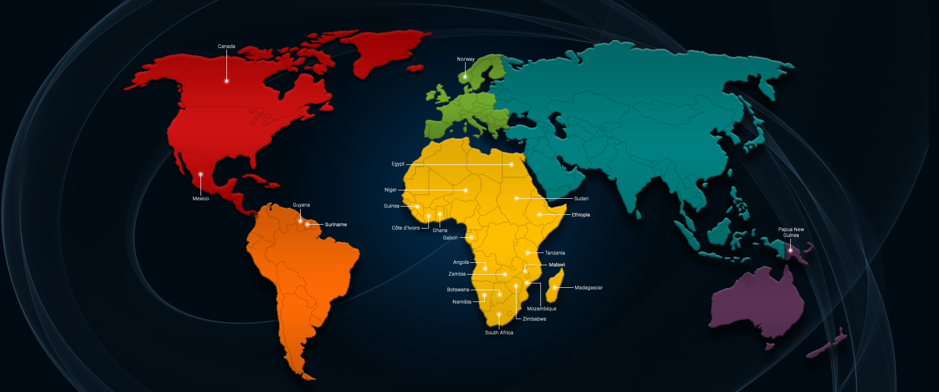
Our office in Canada is open and is a fully registered Canadian business. Please
