POLYMETALS OFFICIAL RELEASES ON UAV MAGNETIC SURVEY IN GUINEA
“The airborne magnetic survey is being conducted by AeroPhysX, which the Company believes to be


“The airborne magnetic survey is being conducted by AeroPhysX, which the Company believes to be

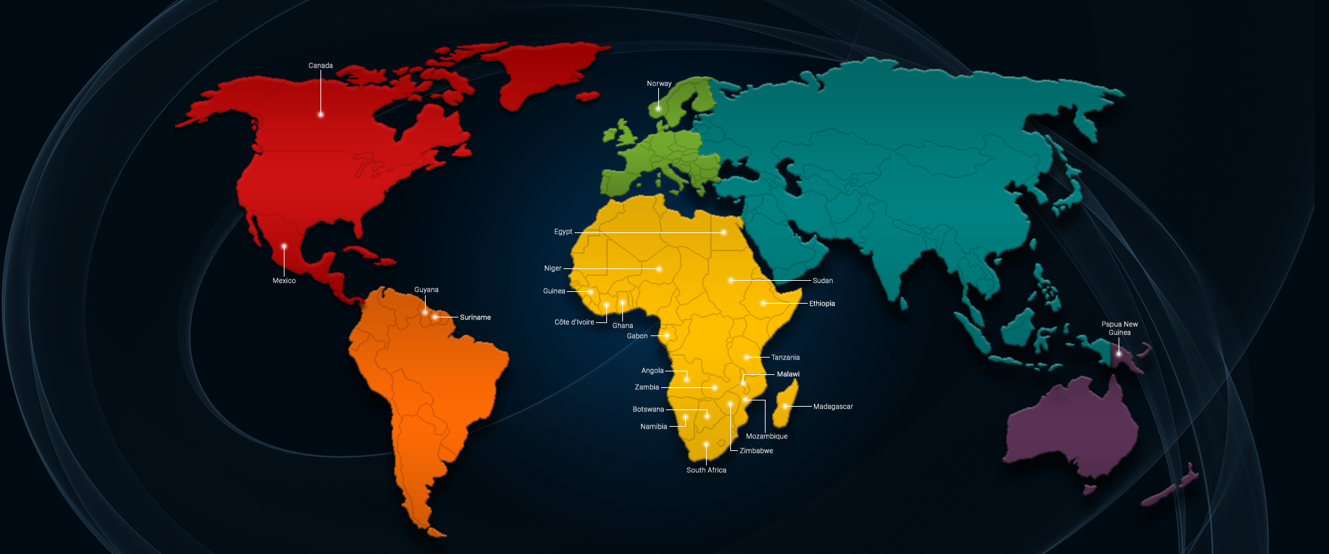
AeroPhysX undertook UAV magnetic surveys for Lidya Madencilik, PolyMetal Resources and Convertible Resources from

Mining Indaba is returning to the CTICC, Cape Town from 9-12 May 2022. AeroPhysX will

We are pleased to announce that our drone TDEM technique has been published in

We are pleased to announce that we are in the process of opening our

Few UAV operators are able to successfully undertake surveys in mountainous terrain due to

AeroPhysX has entered the orthophoto and geospatial market. The production of a high resolution

Recent advances in autonomous unmanned aerial vehicle (UAV) technology, along with successful efforts to